British Columbia Maps Home > British Columbia Map Collection > Vancouver Westend Map
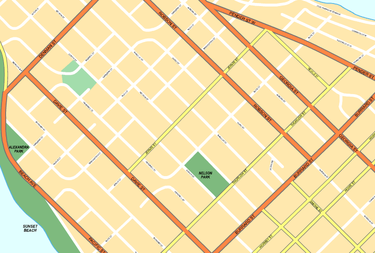
Printable Map of Vancouver Westend

This map image is a classic plot offering the locations of this locality with a simple assortment of map elements.
Of course, you may download this map and work with it in your research. Giving credit to this source would be awesome.
In the case that you need help acquiring a map, a special kind of map, or need a first-rate individualized preparation, quickly email us.
Buy high quality custom-made maps from us. Our custom maps contain a refreshing array of elements, in detail: nodes of transportation, legend, GPS coordinates, bays, major agglomeration areas, sea features, forests, or recreational sites, etc. Types of custom maps range from historical to satellite, printable to printed, electoral district to planning regions.
First-Rate maps are precise, elaborate, and not old. First-Rate map production by YellowMaps.
To purchase hardcopy maps, like navigational charts, attractions maps, or wilderness maps, do not hesitate to marvel at the cartographic delights in our online map shop We carry tens of thousands products.
Fun fact about maps: the word 'map' comes from the Latin 'mappa mundi', meaning 'world on cloth'.
Back to British Columbia map collection