British Columbia Maps Home > British Columbia Map Collection > Vancouver Financial District Map
Printable Map of Vancouver Financial District
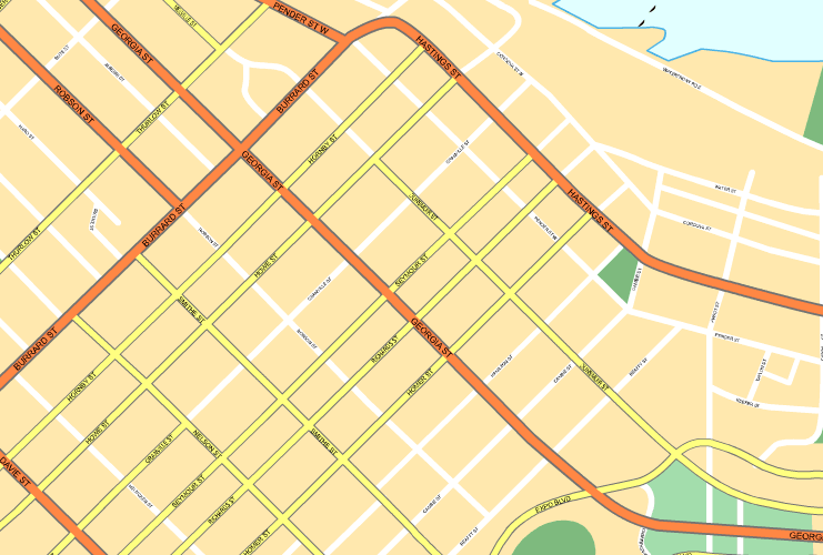
On top we have a simple picture presenting the spatial layout of this locality with a plain array of details.
You have permission to use the map and work with it in your work. Linking back to this resource is always appreciated. Thank you kindly.
In the case that you wish for help getting a map, a special kind of map, or wish for a good custom map, you can get in touch with us.
Purchase great specially made maps from us. Our custom maps contain a generous variety of elements, like: highways, map projection, UTM coordinates, campsites, indian reserves, shoals, glaciers, or railway features, etc. Map types run from political to locator, digital to hardcopy, state or province to congressional districts.
Good maps are precise, up to date, and not misleading. Skillful map design by YellowMaps.
To procure actual maps that get delivered in the mail to your home, such as road atlases, tourist maps, or maps showing elevation, simply explore YellowMaps Map Store We carry over 100,000 map items.
Perhaps you can find the map you are looking for already made: just use the above search bar to search our map store.
Back to British Columbia map collection